Tennessee Landforms -- waterfalls| WGS84 |
| 35.186968 | -85.697586 |
| 35° 11.218'N | 85° 41.855'W |
| 35° 11' 13.1"N | 85° 41' 51.3"W |
| 16S 618580E 3894554N |
| convert to NAD27 |
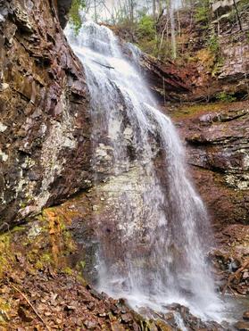
Hauser Falls 65'
Waypoint: MIF033 35.186968,-85.697586
County: Marion landforms of Marion county
popup list of
nearby landforms (mileage, bearing)
MAPS
Select one of the following maps to display this waypoint (WGS84).
GPS
Remarks:
Reference and photos: Scott Morell
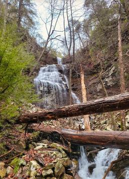
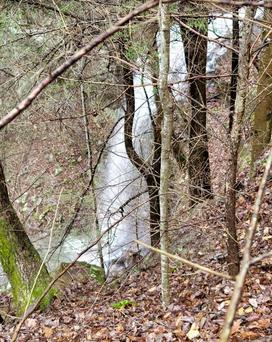 downsteam 2nd drop (45') at 35.1861909,-85.6980331
Tennessee landforms
home
arches
waterfalls
rocks
peaks
balds
sinks
lakes
regions
county
GSMNP landforms (TN/NC)
BSF landforms (TN/KY)
or nearby
lookout towers
Chuck Sutherland's www.tnlandforms.com the future (2024)
 ©
Tom Dunigan
©
Tom Dunigan