Tennessee Landforms -- waterfalls| WGS84 |
| 35.183030 | -85.692764 |
| 35° 10.982'N | 85° 41.566'W |
| 35° 10' 58.9"N | 85° 41' 34"W |
| 16S 619025E 3894123N |
| convert to NAD27 |
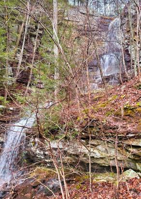
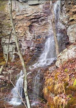
Faith Falls 60'
Waypoint: MIF031 35.183030,-85.692764
County: Marion landforms of Marion county
popup list of
nearby landforms (mileage, bearing)
MAPS
Select one of the following maps to display this waypoint (WGS84).
GPS
Remarks:
Reference and photo: Scott Morell
 60'
60'
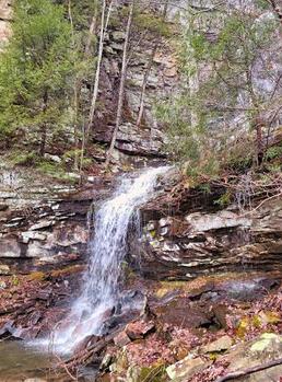 25' second drop
Tennessee landforms
home
arches
waterfalls
rocks
peaks
balds
sinks
lakes
regions
county
GSMNP landforms (TN/NC)
BSF landforms (TN/KY)
or nearby
lookout towers
Chuck Sutherland's www.tnlandforms.com the future (2024)
 ©
Tom Dunigan
©
Tom Dunigan