Tennessee Landforms -- waterfalls| WGS84 |
| 35.229700 | -85.555700 |
| 35° 13.782'N | 85° 33.342'W |
| 35° 13' 46.9"N | 85° 33' 20.5"W |
| 16S 631430E 3899472N |
| convert to NAD27 |
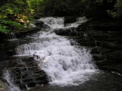
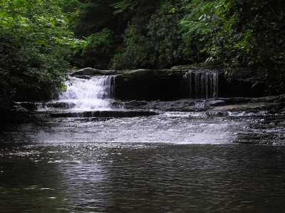
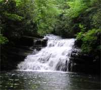
Pocket Creek Falls 15'
Waypoint: MIF016 35.229700,-85.555700
County: Marion landforms of Marion county
Locale: TNNA
popup list of
nearby landforms (mileage, bearing)
MAPS
Select one of the following maps to display this waypoint (WGS84).
GPS
Remarks:
A series of falls and cascades on Pocket Creek downstream from
the Chimneys, off-trail.
Tennessee landforms
home
arches
waterfalls
rocks
peaks
balds
sinks
lakes
regions
county
GSMNP landforms (TN/NC)
BSF landforms (TN/KY)
or nearby
lookout towers
Chuck Sutherland's www.tnlandforms.com the future (2024)
 ©
Tom Dunigan
©
Tom Dunigan