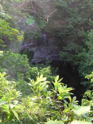
or Rick Angelin's photo
| WGS84 | |
| 35.226100 | -85.563400 |
| 35° 13.566'N | 85° 33.804'W |
| 35° 13' 34"N | 85° 33' 48.2"W |
| 16S 630735E 3899063N | |
| convert to NAD27 | |
MAPS
Select one of the following maps to display this waypoint (WGS84).
GPS
Remarks:
Chimneys and chimney arches nearby and more falls along Pocket Creek.

or Rick Angelin's photo
Ben Mohr reports another 60' falls just 100 yds to the NorthWest of Mikes Branch, see info and photo