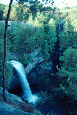
 Photo by Gregory Plumb, Author of
Waterfalls of Tennessee
Photo by Gregory Plumb, Author of
Waterfalls of Tennessee
| WGS84 | |
| 35.182100 | -85.675500 |
| 35° 10.926'N | 85° 40.53'W |
| 35° 10' 55.6"N | 85° 40' 31.8"W |
| 16S 620598E 3894041N | |
| convert to NAD27 | |
MAPS
Select one of the following maps to display this waypoint (WGS84).
GPS
Remarks:
Horsehair is small falls, Foster is main falls
Photo by Gregory Plumb, Author of
Waterfalls of Tennessee