Tennessee Landforms -- waterfalls| WGS84 |
| 36.074347 | -84.648656 |
| 36° 4.461'N | 84° 38.919'W |
| 36° 4' 27.7"N | 84° 38' 55.1"W |
| 16S 711740E 3994754N |
| convert to NAD27 |
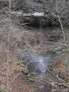
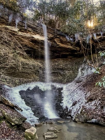
Nemory Falls 30'
Waypoint: MGF019 36.074347,-84.648656
County: Morgan landforms of Morgan county
Locale: OWSR
popup list of
nearby landforms (mileage, bearing)
MAPS
Select one of the following maps to display this waypoint (WGS84).
GPS
Remarks:
wet-weather falls
or Dana's photo
 courtesy Thomas Mabry
Tennessee landforms
home
arches
waterfalls
rocks
peaks
balds
sinks
lakes
regions
county
GSMNP landforms (TN/NC)
BSF landforms (TN/KY)
or nearby
lookout towers
Chuck Sutherland's www.tnlandforms.com the future (2024)
 ©
Tom Dunigan
©
Tom Dunigan