| WGS84 | |
| 35.984822 | -84.548517 |
| 35° 59.089'N | 84° 32.911'W |
| 35° 59' 5.3"N | 84° 32' 54.7"W |
| 16S 721010E 3985044N | |
| convert to NAD27 | |
MAPS
Select one of the following maps to display this waypoint (WGS84).
GPS
Remarks:
Reference: Kevin Baker
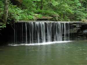
wet-weather falls
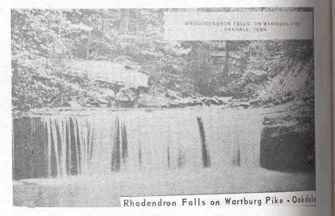 old photo from "The Pictoral History of Morgan County" (Kevin Baker)
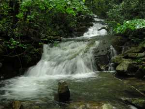
nearby is Mud Lick Falls
and just off 328 is this cascade
 at 35.9818 -84.5519