Tennessee Landforms -- arches and natural bridges| WGS84 |
| 36.105550 | -84.469440 |
| 36° 6.333'N | 84° 28.166'W |
| 36° 6' 20"N | 84° 28' 10"W |
| 16S 727792E 3998621N |
| convert to NAD27 |
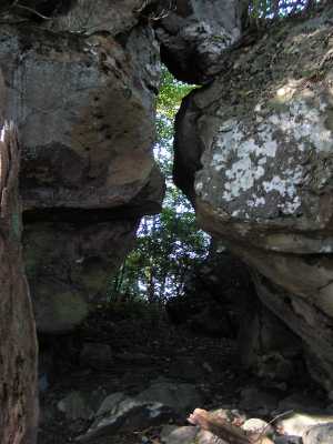
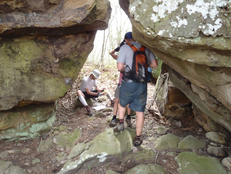
Indian Knob Passage 9x12
Waypoint: MGA013 36.105550,-84.469440
County: Morgan landforms of Morgan county
Locale: FrozenHead
NABSQNO 16S-727792-3998621
popup list of
nearby landforms (mileage, bearing)
MAPS
Select one of the following maps to display this waypoint (WGS84).
GPS
Remarks:
Eye of the Needle passage in caprock,
also see
photo from
Barkley
Tennessee landforms
home
arches
waterfalls
rocks
peaks
balds
sinks
lakes
regions
county
GSMNP landforms (TN/NC)
BSF landforms (TN/KY)
or nearby
lookout towers
Chuck Sutherland's www.tnlandforms.com the future (2024)
 ©
Tom Dunigan
©
Tom Dunigan