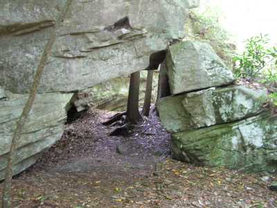
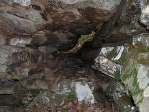
 smaller (1x3) passage atop bluff
NW at 36.10800,-84.72593
smaller (1x3) passage atop bluff
NW at 36.10800,-84.72593
| WGS84 | |
| 36.105840 | -84.722230 |
| 36° 6.35'N | 84° 43.334'W |
| 36° 6' 21"N | 84° 43' 20"W |
| 16S 705032E 3998090N | |
| convert to NAD27 | |
MAPS
Select one of the following maps to display this waypoint (WGS84).
GPS
Remarks:
Some stone passages in recently acquired Stone Preserve (Nature Conservancy), lots of rock islands as well, see slide show
smaller (1x3) passage atop bluff
NW at 36.10800,-84.72593