| WGS84 | |
| 36.281200 | -85.668900 |
| 36° 16.872'N | 85° 40.134'W |
| 36° 16' 52.3"N | 85° 40' 8"W |
| 16S 619545E 4015960N | |
| convert to NAD27 | |
MAPS
Select one of the following maps to display this waypoint (WGS84).
GPS
Remarks:
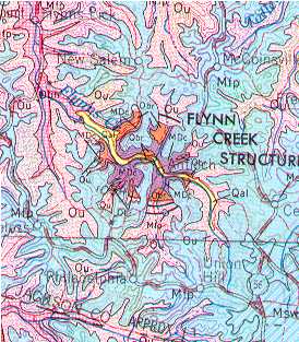
Flynn Creek study and another study and topographic model and Flynn Creek earthcache
TN craters (not visually significant): Howell Crater or Flynn Creek Crater or Wells Creek Crater or Dycus Crater