Tennessee Landforms -- waterfalls| WGS84 |
| 36.258455 | -85.596331 |
| 36° 15.507'N | 85° 35.78'W |
| 36° 15' 30.4"N | 85° 35' 46.8"W |
| 16S 626099E 4013529N |
| convert to NAD27 |
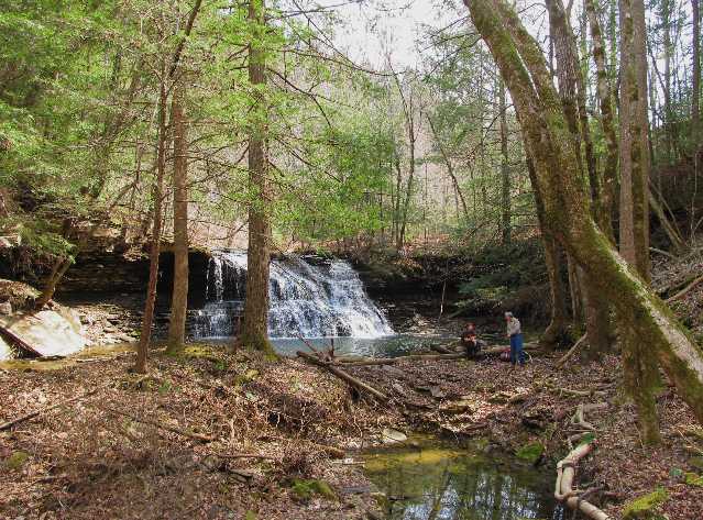
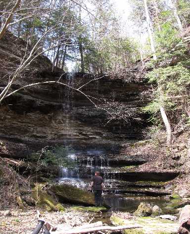
Bowman Br Falls(2) 30'
Waypoint: JAF013 36.258455,-85.596331
County: Jackson landforms of Jackson county
popup list of
nearby landforms (mileage, bearing)
MAPS
Select one of the following maps to display this waypoint (WGS84).
GPS
Remarks:
Reference and photos: Kristen Bobo
Two falls on Bowman Branch, coordinates are for western falls,
 to the Northeast at
36.260778,-85.592528
to the Northeast at
36.260778,-85.592528
Tennessee landforms
home
arches
waterfalls
rocks
peaks
balds
sinks
lakes
regions
county
GSMNP landforms (TN/NC)
BSF landforms (TN/KY)
or nearby
lookout towers
Chuck Sutherland's www.tnlandforms.com the future (2024)
 ©
Tom Dunigan
©
Tom Dunigan