| WGS84 | |
| 36.265925 | -85.553056 |
| 36° 15.956'N | 85° 33.183'W |
| 36° 15' 57.4"N | 85° 33' 11"W |
| 16S 629975E 4014415N | |
| convert to NAD27 | |
MAPS
Select one of the following maps to display this waypoint (WGS84).
GPS
Remarks:
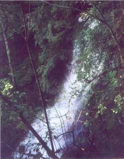
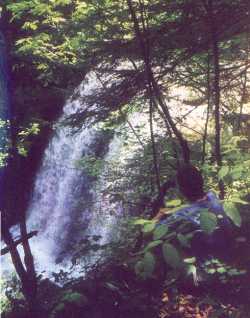
photos courtesy of Vic Fife, east (Twelve Corners Holow) and west (Dry Creek) falls of Dry Creek
Sharon Blackstock photos Dry Creek and Twelve Corners
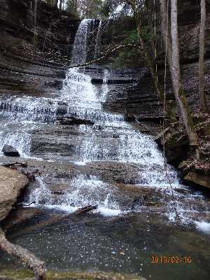
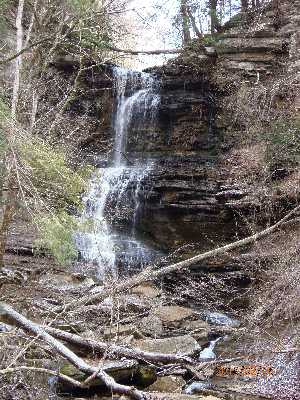
Chuck Sutherland Dry Creek Falls photo and Twelve Corners photo and both. Twelve Cornners falls is at 36.266186,-85.551959