Three smaller falls downstream at 35.11514,-85.35517, 35.11447,-85.35593, 35.11400,-85.35632
| WGS84 | |
| 35.115550 | -85.354950 |
| 35° 6.933'N | 85° 21.297'W |
| 35° 6' 56"N | 85° 21' 17.8"W |
| 16S 649909E 3887095N | |
| convert to NAD27 | |
MAPS
Select one of the following maps to display this waypoint (WGS84).
GPS
Remarks:
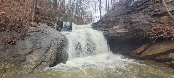
Reference and photo: Ryan Gardner
Three smaller falls downstream at 35.11514,-85.35517,
35.11447,-85.35593, 35.11400,-85.35632