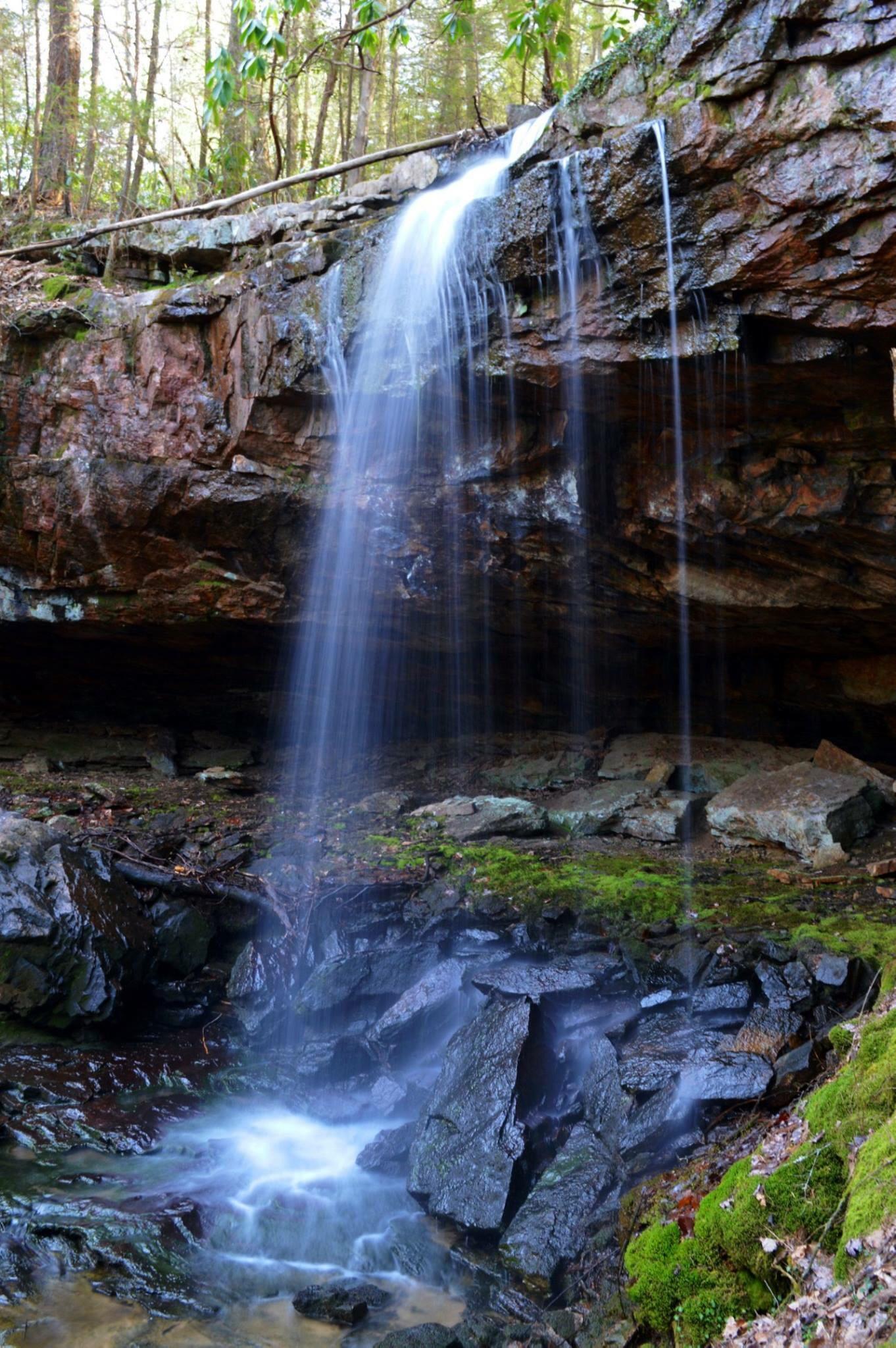
 upper falls, 30'
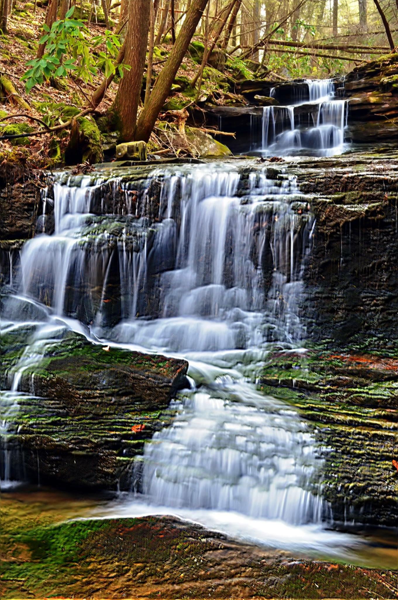 lower falls, 20'
| WGS84 | |
| 35.192710 | -85.298280 |
| 35° 11.563'N | 85° 17.897'W |
| 35° 11' 33.8"N | 85° 17' 53.8"W |
| 16S 654928E 3895740N | |
| convert to NAD27 | |
MAPS
Select one of the following maps to display this waypoint (WGS84).
GPS
Remarks:
Reference and photos: Christopher Lewis, Daniel Jack Hutchison
Christopher says "There's 5 drops of 20 feet or more in a very short distance on an unnamed branch of the creek. The 30 foot straight drop at the top of the ridge is the largest single drop. Because of how they stack perfectly like on a stairway, we have dubbed the whole thing Stairway to Heaven Falls. Pictured first is the top drop of 30 feet, followed by the lowest drop of 20 feet." GPS coordinates of lowest drop.
upper falls, 30'
lower falls, 20'