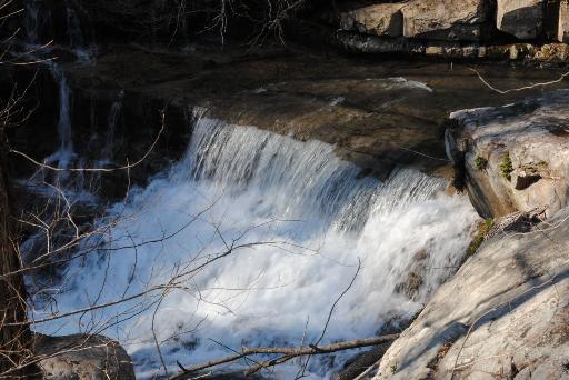
 middle creek falls 8', Steve Rogers photo
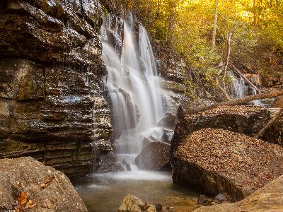 3 creek falls 20', photo: Kelli Lewis, at 35.12016,-85.37367
| WGS84 | |
| 35.120106 | -85.373537 |
| 35° 7.206'N | 85° 22.412'W |
| 35° 7' 12.4"N | 85° 22' 24.7"W |
| 16S 648207E 3887573N | |
| convert to NAD27 | |
MAPS
Select one of the following maps to display this waypoint (WGS84).
GPS
Remarks:
Reference: Kelli Lewis and Steve Rogers
middle creek falls 8', Steve Rogers photo
3 creek falls 20', photo: Kelli Lewis, at 35.12016,-85.37367