Tennessee Landforms -- waterfalls| WGS84 |
| 35.414125 | -85.138421 |
| 35° 24.847'N | 85° 8.305'W |
| 35° 24' 50.8"N | 85° 8' 18.3"W |
| 16S 669022E 3920561N |
| convert to NAD27 |
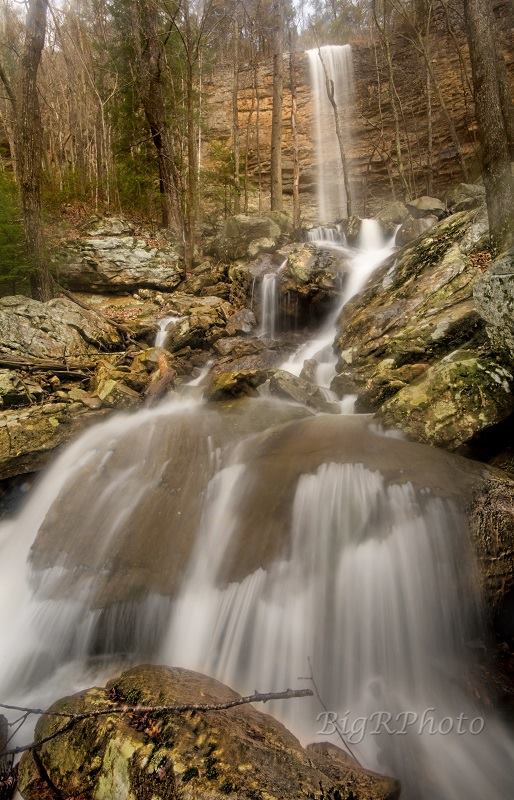
Flat Br Falls 95'
Waypoint: HMF019 35.414125,-85.138421
County: Hamilton landforms of Hamilton county
Locale: CT
popup list of
nearby landforms (mileage, bearing)
MAPS
Select one of the following maps to display this waypoint (WGS84).
GPS
Remarks:
Reference and photo: Ronnie Phipps
Tennessee landforms
home
arches
waterfalls
rocks
peaks
balds
sinks
lakes
regions
county
GSMNP landforms (TN/NC)
BSF landforms (TN/KY)
or nearby
lookout towers
Chuck Sutherland's www.tnlandforms.com the future (2024)
 ©
Tom Dunigan
©
Tom Dunigan