Tennessee Landforms -- waterfalls| WGS84 |
| 35.232500 | -85.240400 |
| 35° 13.95'N | 85° 14.424'W |
| 35° 13' 57"N | 85° 14' 25.4"W |
| 16S 660119E 3900246N |
| convert to NAD27 |
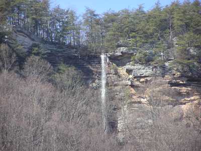
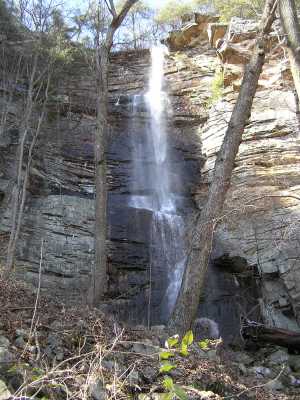
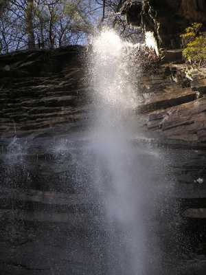
Power Line Falls 140'
Waypoint: HMF006 35.232500,-85.240400
County: Hamilton landforms of Hamilton county
Locale: PktWldns
popup list of
nearby landforms (mileage, bearing)
MAPS
Select one of the following maps to display this waypoint (WGS84).
GPS
Remarks:
wet-weather falls, off-trail. Also see
the
North Chickamauga Creek Gorge,
and TN
natural area,
and pocket wilderness
Tennessee landforms
home
arches
waterfalls
rocks
peaks
balds
sinks
lakes
regions
county
GSMNP landforms (TN/NC)
BSF landforms (TN/KY)
or nearby
lookout towers
Chuck Sutherland's www.tnlandforms.com the future (2024)
 ©
Tom Dunigan
©
Tom Dunigan