Tennessee Landforms -- waterfalls| WGS84 |
| 35.127010 | -85.365500 |
| 35° 7.621'N | 85° 21.93'W |
| 35° 7' 37.3"N | 85° 21' 55.8"W |
| 16S 648927E 3888351N |
| convert to NAD27 |
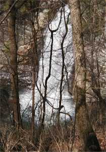
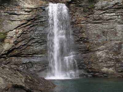
Rainbow Falls 40'
Waypoint: HMF004 35.127010,-85.365500
County: Hamilton landforms of Hamilton county
Locale: Cumberland Trail
popup list of
nearby landforms (mileage, bearing)
MAPS
Select one of the following maps to display this waypoint (WGS84).
GPS
Remarks:
Tennessee landforms
home
arches
waterfalls
rocks
peaks
balds
sinks
lakes
regions
county
GSMNP landforms (TN/NC)
BSF landforms (TN/KY)
or nearby
lookout towers
Chuck Sutherland's www.tnlandforms.com the future (2024)
 ©
Tom Dunigan
©
Tom Dunigan