arch-1
| WGS84 | |
| 34.996860 | -85.358530 |
| 34° 59.812'N | 85° 21.512'W |
| 34° 59' 48.7"N | 85° 21' 30.7"W |
| 16S 649800E 3873926N | |
| convert to NAD27 | |
MAPS
Select one of the following maps to display this waypoint (WGS84).
GPS
Remarks:
References: JNAD:TENN-63,64,65,66,67 (1-5), WAD:44.47
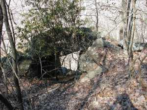
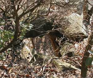
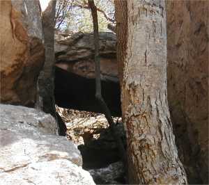
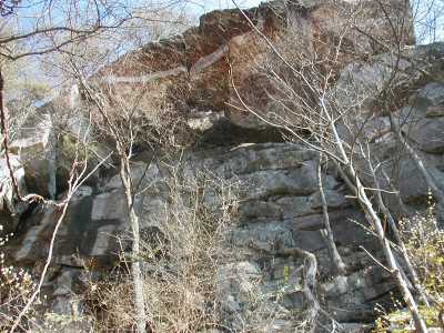
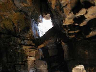
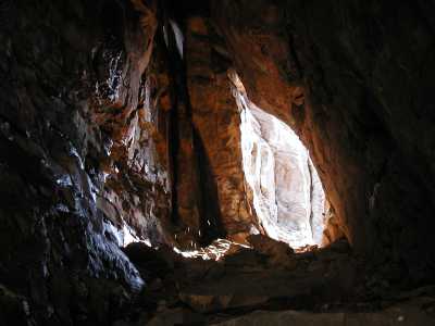
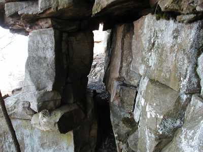
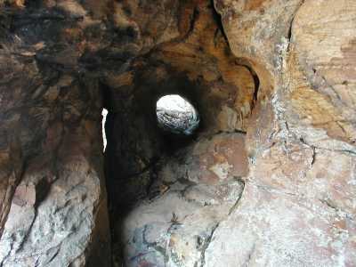
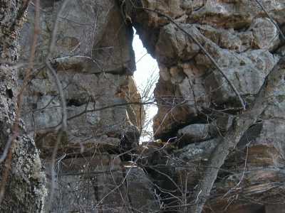
These arches are located on the Bluff Trail within a mile to either side of Sunset Point. Arch #6 is about 30' above the trail. There are also a few gravity bridges.
arch-1
arch-2
arch-3
arch-4
arch-5
arch-6
And there are some gravity bridges mixed in.