 Photo by Gregory Plumb, Author of
Waterfalls of Tennessee
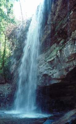
Photo by Gregory Plumb, Author of
Waterfalls of Tennessee
| WGS84 | |
| 35.422839 | -85.660192 |
| 35° 25.37'N | 85° 39.612'W |
| 35° 25' 22.2"N | 85° 39' 36.7"W |
| 16S 621631E 3920760N | |
| convert to NAD27 | |
MAPS
Select one of the following maps to display this waypoint (WGS84).
GPS
Remarks:
Chuck Sutherland photo1 photo2
Photo by Gregory Plumb, Author of
Waterfalls of Tennessee