Tennessee Landforms -- waterfalls| WGS84 |
| 35.222500 | -85.736800 |
| 35° 13.35'N | 85° 44.208'W |
| 35° 13' 21"N | 85° 44' 12.5"W |
| 16S 614959E 3898449N |
| convert to NAD27 |
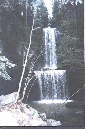
Anderson Falls 80'
Waypoint: GUF001 35.222500,-85.736800
County: Grundy landforms of Grundy county
Locale: trails
popup list of
nearby landforms (mileage, bearing)
MAPS
Select one of the following maps to display this waypoint (WGS84).
GPS
Remarks:
 see another photo
and here
see another photo
and here
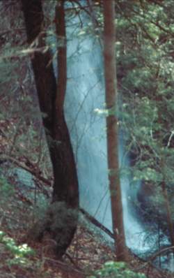 Photo by Gregory Plumb, Author of
Waterfalls of Tennessee
Photo by Gregory Plumb, Author of
Waterfalls of Tennessee
Tennessee landforms
home
arches
waterfalls
rocks
peaks
balds
sinks
lakes
regions
county
GSMNP landforms (TN/NC)
BSF landforms (TN/KY)
or nearby
lookout towers
Chuck Sutherland's www.tnlandforms.com the future (2024)
 ©
Tom Dunigan
©
Tom Dunigan