Tennessee Landforms -- waterfalls| WGS84 |
| 36.337500 | -83.547600 |
| 36° 20.25'N | 83° 32.856'W |
| 36° 20' 15"N | 83° 32' 51.4"W |
| 17S 271351E 4024396N |
| convert to NAD27 |
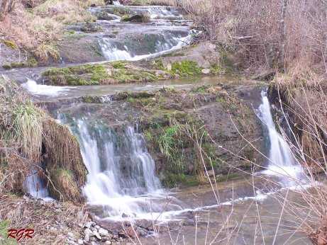
Cracker Cr. Feeder 10'
Waypoint: GRF015 36.337500,-83.547600
County: Grainger landforms of Grainger county
Locale: private
popup list of
nearby landforms (mileage, bearing)
MAPS
Select one of the following maps to display this waypoint (WGS84).
GPS
Remarks:
Reference & photo: Robert Robbins
Tennessee landforms
home
arches
waterfalls
rocks
peaks
balds
sinks
lakes
regions
county
GSMNP landforms (TN/NC)
BSF landforms (TN/KY)
or nearby
lookout towers
Chuck Sutherland's www.tnlandforms.com the future (2024)
 ©
Tom Dunigan
©
Tom Dunigan