| WGS84 | |
| 36.089800 | -82.682100 |
| 36° 5.388'N | 82° 40.926'W |
| 36° 5' 23.3"N | 82° 40' 55.6"W |
| 17S 348562E 3995218N | |
| convert to NAD27 | |
MAPS
Select one of the following maps to display this waypoint (WGS84).
GPS
Remarks:
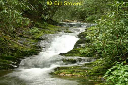
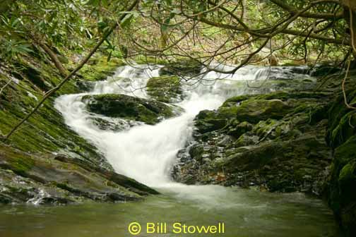
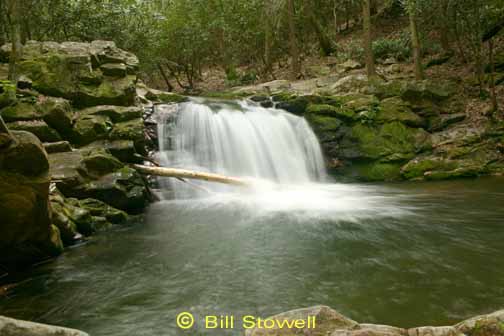
Reference: Bill & Craig, photos courtesy of Bill Stowell
Along Jennings Creek Trail, CNF trail 21
About a mile further upstream are two more cascades (20' and 10'), coordinates are ( 36.08278 -82.67525) and ( 36.081983 -82.673783)