Tennessee Landforms -- waterfalls| WGS84 |
| 36.384900 | -84.950400 |
| 36° 23.094'N | 84° 57.024'W |
| 36° 23' 5.6"N | 84° 57' 1.4"W |
| 16S 683835E 4028592N |
| convert to NAD27 |
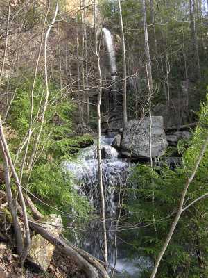
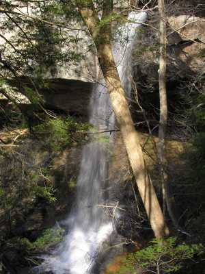
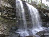
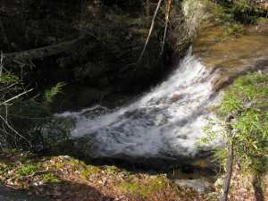
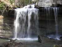
Deer Gap Falls 70'
Waypoint: FEF006 36.384900,-84.950400
County: Fentress landforms of Fentress county
Locale: private
popup list of
nearby landforms (mileage, bearing)
MAPS
Select one of the following maps to display this waypoint (WGS84).
GPS
Remarks:
Tennessee landforms
home
arches
waterfalls
rocks
peaks
balds
sinks
lakes
regions
county
GSMNP landforms (TN/NC)
BSF landforms (TN/KY)
or nearby
lookout towers
Chuck Sutherland's www.tnlandforms.com the future (2024)
 ©
Tom Dunigan
©
Tom Dunigan