Tennessee Landforms -- arches and natural bridges| WGS84 |
| 36.402310 | -84.999480 |
| 36° 24.139'N | 84° 59.969'W |
| 36° 24' 8.3"N | 84° 59' 58.1"W |
| 16S 679393E 4030431N |
| convert to NAD27 |
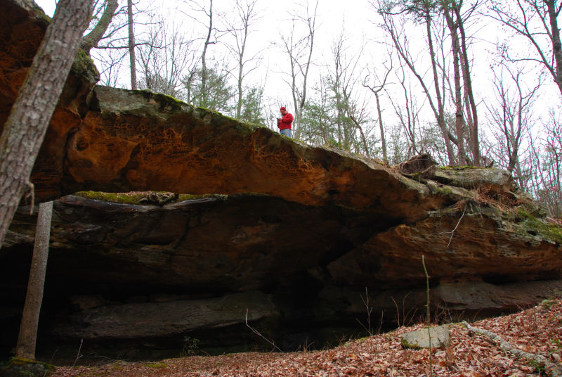
Cat Pen Hollow Arch 70x20
Waypoint: FEA052 36.402310,-84.999480
County: Fentress landforms of Fentress county
Locale: private
NABSQNO 16S-679393-4030431
popup list of
nearby landforms (mileage, bearing)
MAPS
Select one of the following maps to display this waypoint (WGS84).
GPS
Remarks:
Reference and photos: Brad Neff


Tennessee landforms
home
arches
waterfalls
rocks
peaks
balds
sinks
lakes
regions
county
GSMNP landforms (TN/NC)
BSF landforms (TN/KY)
or nearby
lookout towers
Chuck Sutherland's www.tnlandforms.com the future (2024)
 ©
Tom Dunigan
©
Tom Dunigan