another picture in News Sentinel article
| WGS84 | |
| 36.536000 | -84.832800 |
| 36° 32.16'N | 84° 49.968'W |
| 36° 32' 9.6"N | 84° 49' 58.1"W |
| 16S 694008E 4045586N | |
| convert to NAD27 | |
MAPS
Select one of the following maps to display this waypoint (WGS84).
GPS
Remarks:
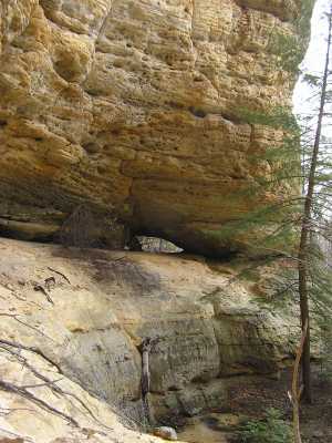
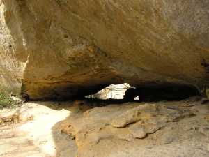
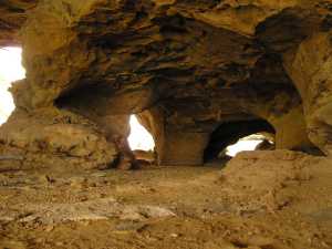
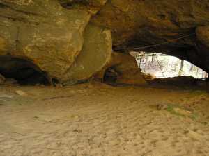
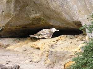
tunnel in the cliff wall, with a smaller arch nested inside. off-trail, Pogue Creek Tract, recent Nature Conservancy acquisition.
|
Can you see the bird outlined by the arch opening?
another picture in News Sentinel article |