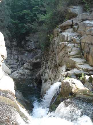
 Photo by Gregory Plumb, Author of
Waterfalls of Tennessee
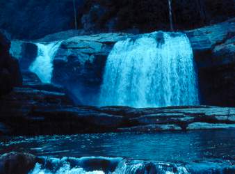
Photo by Gregory Plumb, Author of
Waterfalls of Tennessee
| WGS84 | |
| 36.230900 | -81.975180 |
| 36° 13.854'N | 81° 58.511'W |
| 36° 13' 51.2"N | 81° 58' 30.7"W |
| 17S 412365E 4010000N | |
| convert to NAD27 | |
MAPS
Select one of the following maps to display this waypoint (WGS84).
GPS
Remarks:
Is there another falls upstream? See Bill's photos
Photo by Gregory Plumb, Author of
Waterfalls of Tennessee
Brian says the pictures above are of Compression Falls and that
Twisting Falls (Brian's picture below) is two waterfalls upstream.