 Photo by Gregory Plumb, Author of
Waterfalls of Tennessee
Photo by Gregory Plumb, Author of
Waterfalls of Tennessee
| WGS84 | |
| 35.411100 | -86.203100 |
| 35° 24.666'N | 86° 12.186'W |
| 35° 24' 40"N | 86° 12' 11.2"W |
| 16S 572354E 3918926N | |
| convert to NAD27 | |
MAPS
Select one of the following maps to display this waypoint (WGS84).
GPS
Remarks:
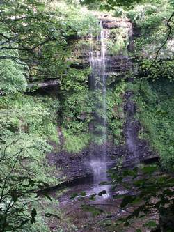
Wet-weather falls adjacent to Ovoca Falls.
Photo by Gregory Plumb, Author of
Waterfalls of Tennessee