 18' at
35.411913,-86.180381
18' at
35.411913,-86.180381
| WGS84 | |
| 35.408200 | -86.178770 |
| 35° 24.492'N | 86° 10.726'W |
| 35° 24' 29.5"N | 86° 10' 43.6"W |
| 16S 574565E 3918622N | |
| convert to NAD27 | |
MAPS
Select one of the following maps to display this waypoint (WGS84).
GPS
Remarks:
Reference & photos: Kevin Baker
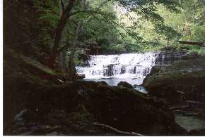
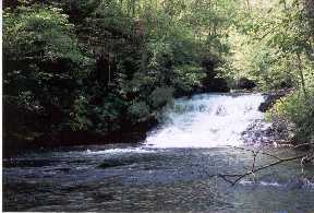
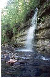
part of Short Springs State Natural Area
on Bobo Creek are three more falls
18' at
35.411913,-86.180381