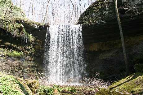
 photo courtesy of Sadhish Siva
| WGS84 | |
| 35.470520 | -86.167870 |
| 35° 28.231'N | 86° 10.072'W |
| 35° 28' 13.9"N | 86° 10' 4.3"W |
| 16S 575497E 3925542N | |
| convert to NAD27 | |
MAPS
Select one of the following maps to display this waypoint (WGS84).
GPS
Remarks:
photo courtesy of Sadhish Siva
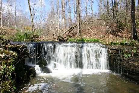 upstream, a 13' falls, photo courtesy of Sadhish Siva
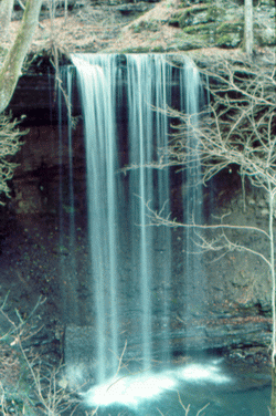 Photo by Gregory Plumb, Author of
Waterfalls of Tennessee
Photo by Gregory Plumb, Author of
Waterfalls of Tennessee