| WGS84 | |
| 36.448000 | -84.051100 |
| 36° 26.88'N | 84° 3.066'W |
| 36° 26' 52.8"N | 84° 3' 4"W |
| 16S 764301E 4037683N | |
| convert to NAD27 | |
MAPS
Select one of the following maps to display this waypoint (WGS84).
GPS
Remarks:
Reference: USGS topo and McCloud Mtn
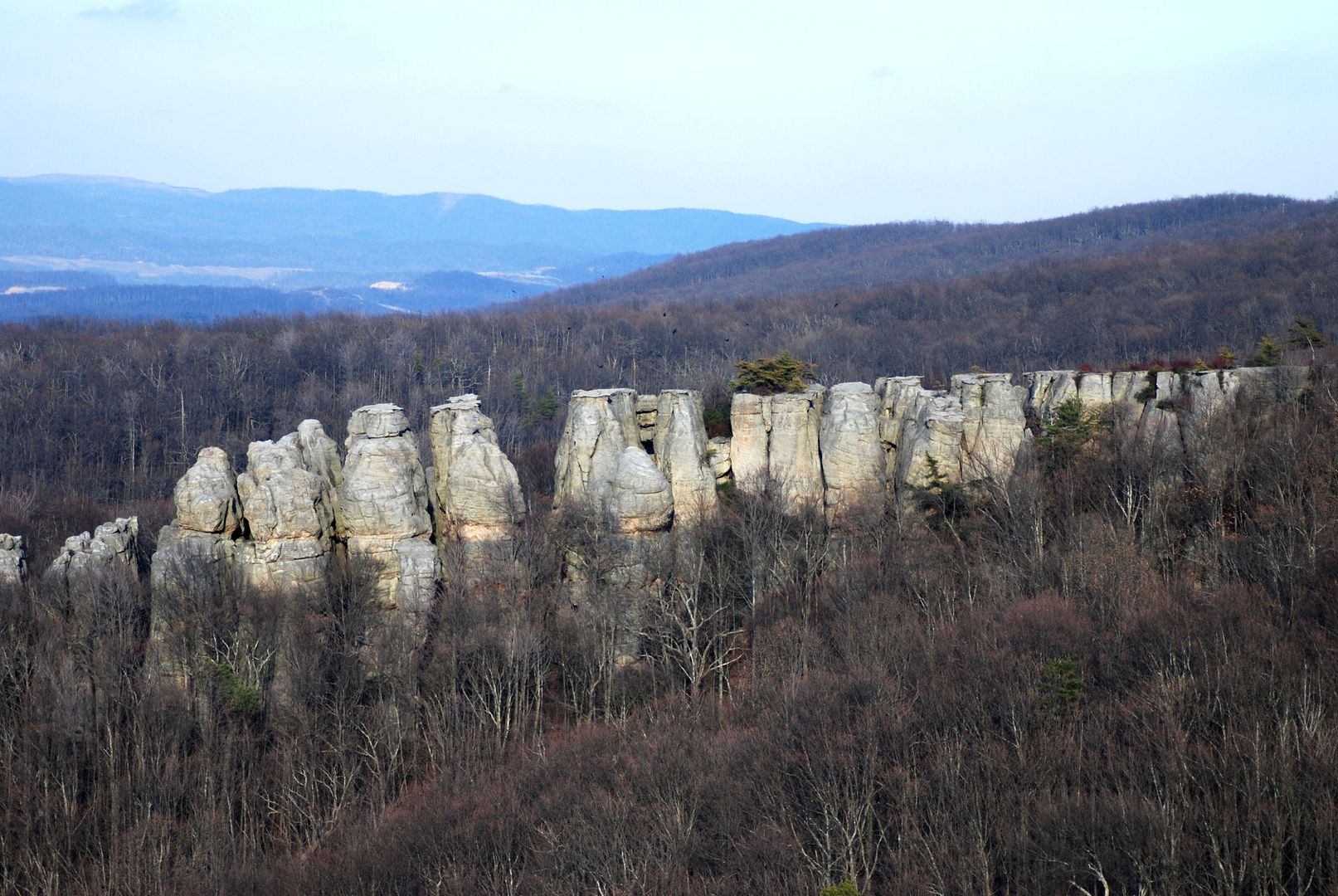
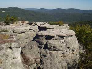
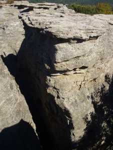
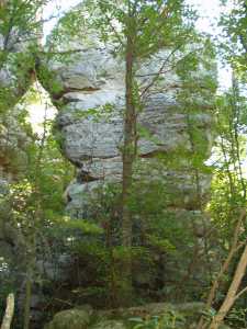
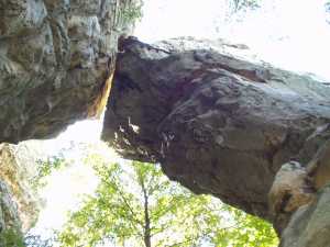
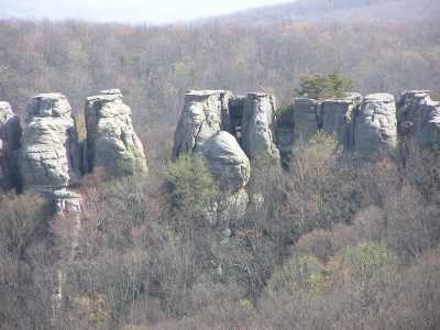
This is a garden of chimneys, bout 32 in all, ranging in height
from 30' to 60', with an arch or two as well.
The first picture is view over the tops of the chimneys, now part of
the McCloud Mountain skywalk.
See AllTrails photos
From McCloud Mtn