Tennessee Landforms -- arches and natural bridges| WGS84 |
| 36.584835 | -84.041793 |
| 36° 35.09'N | 84° 2.508'W |
| 36° 35' 5.4"N | 84° 2' 30.5"W |
| 16S 764668E 4052893N |
| convert to NAD27 |
Drive-in triple 45x25
Waypoint: CAA013 36.584835,-84.041793
County: Campbell landforms of Campbell county
NABSQNO 16S-764668-4052893
popup list of
nearby landforms (mileage, bearing)
MAPS
Select one of the following maps to display this waypoint (WGS84).
GPS
Remarks:
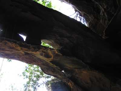
 J Helton photo
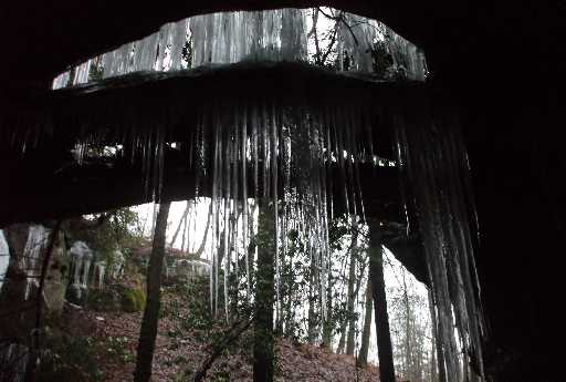
Tennessee landforms
home
arches
waterfalls
rocks
peaks
balds
sinks
lakes
regions
county
GSMNP landforms (TN/NC)
BSF landforms (TN/KY)
or nearby
lookout towers
Chuck Sutherland's www.tnlandforms.com the future (2024)
 ©
Tom Dunigan
©
Tom Dunigan