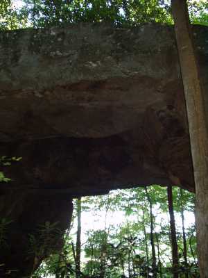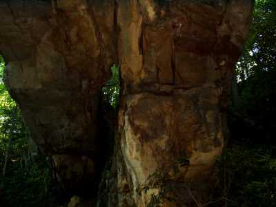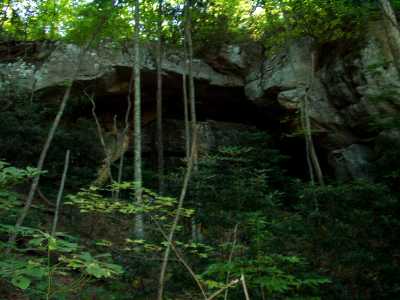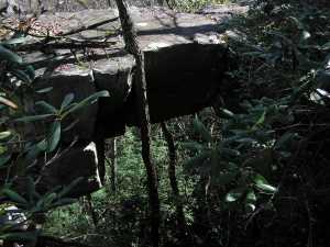


 span to east
| WGS84 | |
| 36.446800 | -84.056420 |
| 36° 26.808'N | 84° 3.385'W |
| 36° 26' 48.5"N | 84° 3' 23.1"W |
| 16S 763828E 4037535N | |
| convert to NAD27 | |
MAPS
Select one of the following maps to display this waypoint (WGS84).
GPS
Remarks:
Reference: C/P 34, USGS
The main arch is actually split into two arches, and there is a third
arch above the small rockhouse.
And above and to the east of the main arch complex is 20' rib about
30' above the forest floor.
Visit McCloud lodge/restaurant
and history.


 span to east
more McCloud Mountain photos