| WGS84 | |
| 36.213300 | -84.080900 |
| 36° 12.798'N | 84° 4.854'W |
| 36° 12' 47.9"N | 84° 4' 51.2"W |
| 16S 762416E 4011558N | |
| convert to NAD27 | |
MAPS
Select one of the following maps to display this waypoint (WGS84).
GPS
Remarks:
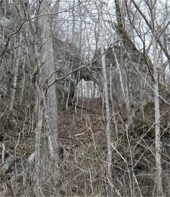
The arch is located at the top of the bluff line
several hundred feet above the River Bluff Trail below Norris Dam.
The formation is not quite a real arch, but two rock formations
where the "arch" is "completed" by a keystone.
Best viewed in the winter.

Norris trails