Tennessee Landforms -- arches and natural bridges| WGS84 |
| 36.218430 | -84.131900 |
| 36° 13.106'N | 84° 7.914'W |
| 36° 13' 6.4"N | 84° 7' 54.8"W |
| 16S 757813E 4011991N |
| convert to NAD27 |
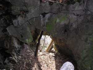
Lovely Bluff Arches (6+) 8x15
Waypoint: ANA002 36.218430,-84.131900
County: Anderson landforms of Anderson county
NABSQNO 16S-757813-4011991
popup list of
nearby landforms (mileage, bearing)
MAPS
Select one of the following maps to display this waypoint (WGS84).
GPS
Remarks:
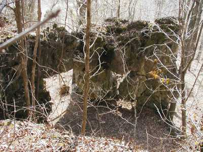
Nooks and crannies -- here are just a few of the formations above Lovely Bluff!
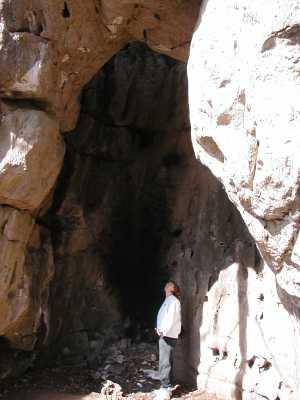
Devil's Fireplace

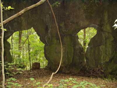
Arch Trio
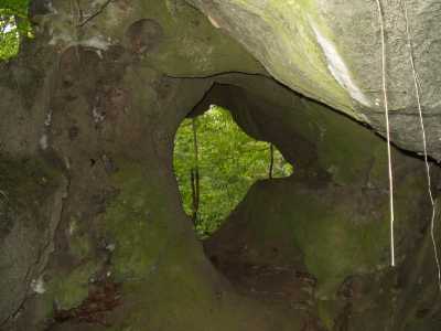
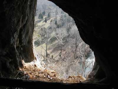
Bluff Windows
Tennessee landforms
home
arches
waterfalls
rocks
peaks
balds
sinks
lakes
regions
county
GSMNP landforms (TN/NC)
BSF landforms (TN/KY)
or nearby
lookout towers
Chuck Sutherland's www.tnlandforms.com the future (2024)
 ©
Tom Dunigan
©
Tom Dunigan