| WGS84 | |
| 35.635800 | -83.586600 |
| 35° 38.148'N | 83° 35.196'W |
| 35° 38' 8.9"N | 83° 35' 11.8"W |
| 17S 265783E 3946636N | |
| convert to NAD27 | |
MAPS
Select one of the following maps to display this waypoint (WGS84).
GPS
Remarks:
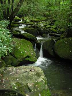
Numerous cascades along Jakes Creek trail, above and below the waypoint.
 AT shelters
BSF landforms (TN/KY)
AT shelters
BSF landforms (TN/KY)