| WGS84 | |
| 35.637100 | -83.388000 |
| 35° 38.226'N | 83° 23.28'W |
| 35° 38' 13.6"N | 83° 23' 16.8"W |
| 17S 283773E 3946325N | |
| convert to NAD27 | |
MAPS
Select one of the following maps to display this waypoint (WGS84).
GPS
Remarks:
Reference: ecj
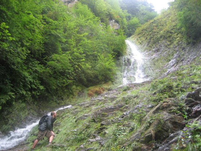
off-trail, Jenny's
trip report and her photo below.
another trip report
 AT shelters
BSF landforms (TN/KY)
AT shelters
BSF landforms (TN/KY)