
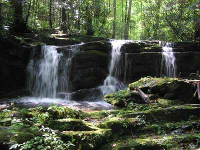
 Tres Falls
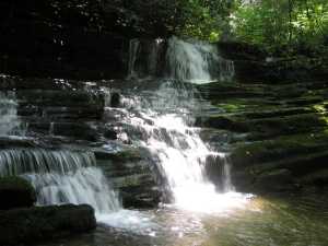

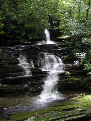 Mike's Falls
| WGS84 | |
| 35.715400 | -83.391200 |
| 35° 42.924'N | 83° 23.472'W |
| 35° 42' 55.4"N | 83° 23' 28.3"W |
| 17S 283695E 3955019N | |
| convert to NAD27 | |
MAPS
Select one of the following maps to display this waypoint (WGS84).
GPS
Remarks:
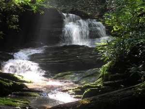
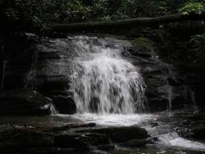
More than a dozen falls/cascades are found on the lower section of this creek via a manway.
Tres Falls
Mike's Falls
 AT shelters
BSF landforms (TN/KY)
AT shelters
BSF landforms (TN/KY)