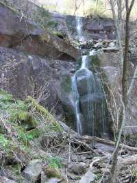
 East fork
| WGS84 | |
| 35.660200 | -83.442100 |
| 35° 39.612'N | 83° 26.526'W |
| 35° 39' 36.7"N | 83° 26' 31.6"W |
| 17S 278937E 3949008N | |
| convert to NAD27 | |
MAPS
Select one of the following maps to display this waypoint (WGS84).
GPS
Remarks:
off trail on the Roaring Fork
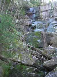
East fork
 West fork
Dutch Roth black&white 1929
 AT shelters
BSF landforms (TN/KY)
AT shelters
BSF landforms (TN/KY)