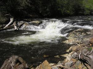
 small falls (under the lake at full pool)
| WGS84 | |
| 35.449700 | -83.527300 |
| 35° 26.982'N | 83° 31.638'W |
| 35° 26' 58.9"N | 83° 31' 38.3"W |
| 17S 270624E 3925850N | |
| convert to NAD27 | |
MAPS
Select one of the following maps to display this waypoint (WGS84).
GPS
Remarks:
small falls (under the lake at full pool)
 AT shelters
BSF landforms (TN/KY)
AT shelters
BSF landforms (TN/KY)