| WGS84 | |
| 35.474500 | -83.869800 |
| 35° 28.47'N | 83° 52.188'W |
| 35° 28' 28.2"N | 83° 52' 11.3"W |
| 17S 239611E 3929452N | |
| convert to NAD27 | |
MAPS
Select one of the following maps to display this waypoint (WGS84).
GPS
Remarks:
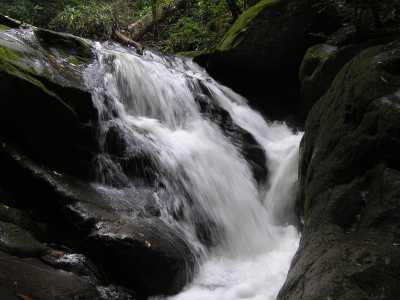
Also a small falls where trail crosses creek at elevation 1880'

 AT shelters
BSF landforms (TN/KY)
AT shelters
BSF landforms (TN/KY)