| WGS84 | |
| 35.594100 | -83.267500 |
| 35° 35.646'N | 83° 16.05'W |
| 35° 35' 38.8"N | 83° 16' 3"W |
| 17S 294576E 3941296N | |
| convert to NAD27 | |
MAPS
Select one of the following maps to display this waypoint (WGS84).
GPS
Remarks:
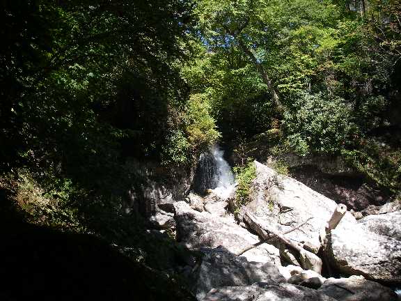
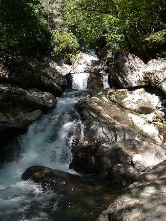
Falls on Raven Fork in The Gorges section just outside the reservation. See whitewater info and photo
James Locke photos below
 AT shelters
BSF landforms (TN/KY)
AT shelters
BSF landforms (TN/KY)