 off-trail
| WGS84 | |
| 35.757032 | -83.178470 |
| 35° 45.422'N | 83° 10.708'W |
| 35° 45' 25.3"N | 83° 10' 42.5"W |
| 17S 303044E 3959189N | |
| convert to NAD27 | |
MAPS
Select one of the following maps to display this waypoint (WGS84).
GPS
Remarks:
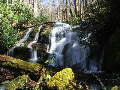
Reference and photo: Mike Gourley
off-trail
 AT shelters
BSF landforms (TN/KY)
AT shelters
BSF landforms (TN/KY)