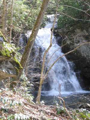
Spruce Flats Falls
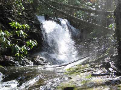
 the lower falls
| WGS84 | |
| 35.634200 | -83.682000 |
| 35° 38.052'N | 83° 40.92'W |
| 35° 38' 3.1"N | 83° 40' 55.2"W |
| 17S 257138E 3946690N | |
| convert to NAD27 | |
MAPS
Select one of the following maps to display this waypoint (WGS84).
GPS
Remarks:
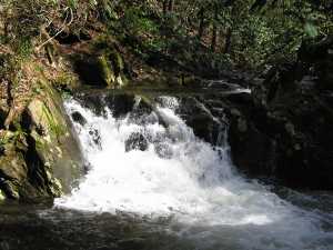
You can see Lower Spruce Flats falls from the road, but to avoid swimming across the Middle Prong, take the "Falls Trail" from the south end of the Institute to see Spruce Flats Falls. See trail description which describes more falls just upstream also see Dutch Roth black&white (1935)
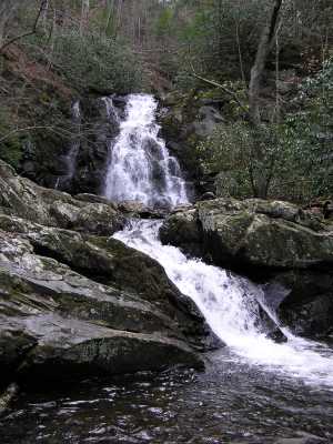
Spruce Flats Falls
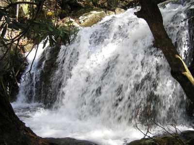
the lower falls
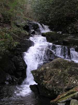
the four upper falls (8' to 20')
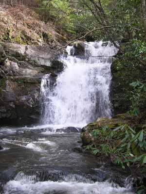
Just a bit further upstream is Honey Cove Falls.
 AT shelters
BSF landforms (TN/KY)
AT shelters
BSF landforms (TN/KY)