| WGS84 | |
| 35.560100 | -83.961650 |
| 35° 33.606'N | 83° 57.699'W |
| 35° 33' 36.4"N | 83° 57' 41.9"W |
| 17S 231560E 3939196N | |
| convert to NAD27 | |
MAPS
Select one of the following maps to display this waypoint (WGS84).
GPS
Remarks:
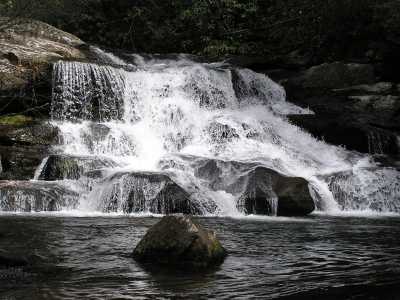
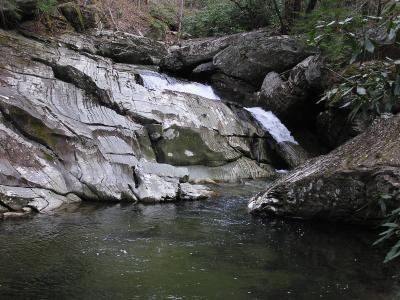
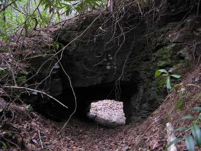
A 30' falls is located about 3 miles upstream on Panther Creek. Several cascades along the way and " Garner Falls" is located about a mile from the lake. Unless you're in a boat, you'll need to bushwhack over the ridge to get to Panther Creek. All off-trail along remnants of old roadbed (logging & slate mining), see 1931 Park map Also Anchor Arch is along the way between the two falls.
|
| Panther Creek falls |
|
a lower 25' cascade at Garner Falls |
|
Anchor Arch |
 AT shelters
BSF landforms (TN/KY)
AT shelters
BSF landforms (TN/KY)