NOAA weather near waypoint
or
wunderground
NOAA weather near waypoint
or
wunderground
| WGS84 | |
| 36.490876 | -84.704148 |
| 36° 29.453'N | 84° 42.249'W |
| 36° 29' 27.2"N | 84° 42' 14.9"W |
| 16S 705646E 4040847N | |
| convert to NAD27 | |
MAPS
Select one of the following maps to display this waypoint (WGS84).
NOAA weather near waypoint
or
wunderground
GPS
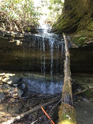
Remarks:
Reference and photo: Chad Harrold