 NOAA weather near waypoint
or
wunderground
NOAA weather near waypoint
or
wunderground
| WGS84 | |
| 36.468543 | -84.659233 |
| 36° 28.113'N | 84° 39.554'W |
| 36° 28' 6.8"N | 84° 39' 33.2"W |
| 16S 709730E 4038466N | |
| convert to NAD27 | |
MAPS
Select one of the following maps to display this waypoint (WGS84).
NOAA weather near waypoint
or
wunderground
GPS
Remarks:
Reference and photo: Chad Harrold
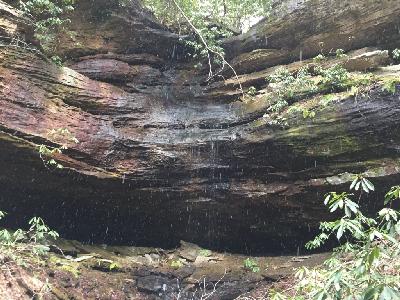
wet-weather falls