NOAA weather near waypoint
or
wunderground
NOAA weather near waypoint
or
wunderground
| WGS84 | |
| 36.471971 | -84.649310 |
| 36° 28.318'N | 84° 38.959'W |
| 36° 28' 19.1"N | 84° 38' 57.5"W |
| 16S 710610E 4038868N | |
| convert to NAD27 | |
MAPS
Select one of the following maps to display this waypoint (WGS84).
NOAA weather near waypoint
or
wunderground
GPS
Remarks:
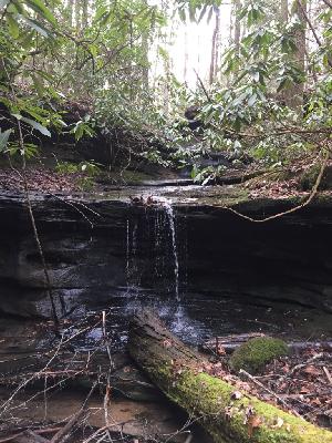
Reference and photo: Chad Harrold