NOAA weather near waypoint
or
wunderground
NOAA weather near waypoint
or
wunderground
| WGS84 | |
| 36.432502 | -84.656134 |
| 36° 25.95'N | 84° 39.368'W |
| 36° 25' 57"N | 84° 39' 22.1"W |
| 16S 710105E 4034474N | |
| convert to NAD27 | |
MAPS
Select one of the following maps to display this waypoint (WGS84).
NOAA weather near waypoint
or
wunderground
GPS
Remarks:
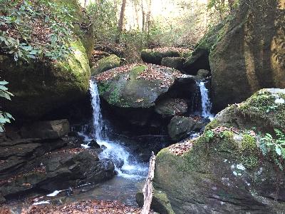
Reference and photo: Chad Harrold