 NOAA weather near waypoint
or
wunderground
NOAA weather near waypoint
or
wunderground
| WGS84 | |
| 36.427710 | -84.644367 |
| 36° 25.663'N | 84° 38.662'W |
| 36° 25' 39.8"N | 84° 38' 39.7"W |
| 16S 711173E 4033968N | |
| convert to NAD27 | |
MAPS
Select one of the following maps to display this waypoint (WGS84).
NOAA weather near waypoint
or
wunderground
GPS
Remarks:
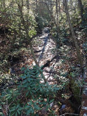
Reference and photo: Chad Harrold
 wet-weather